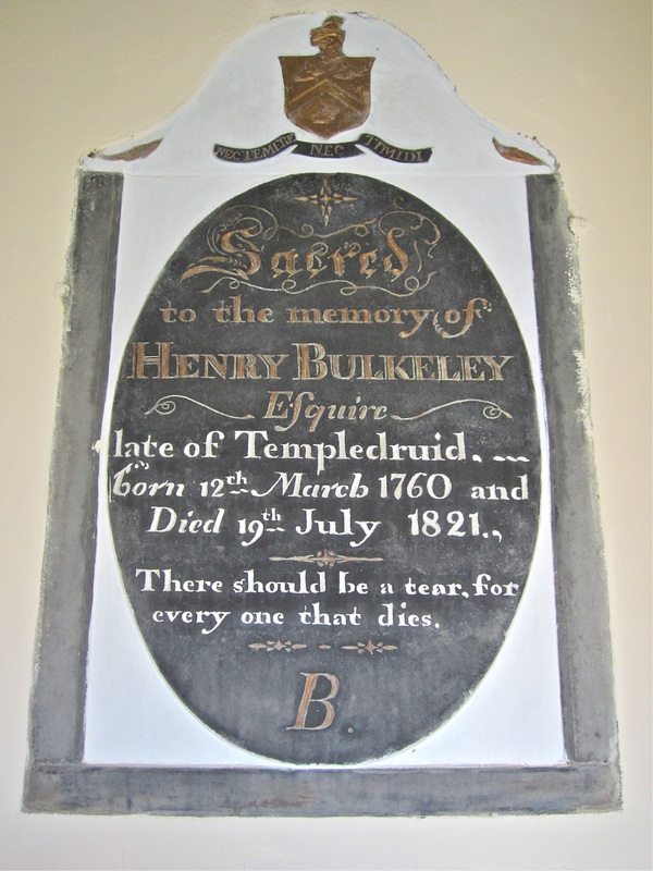
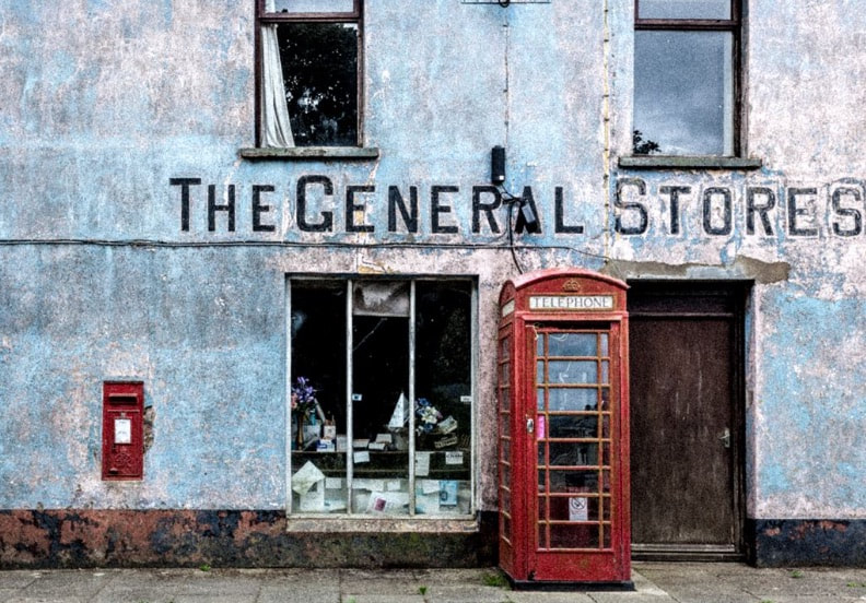
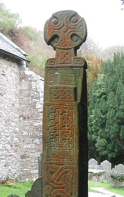
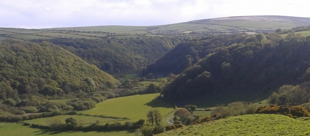
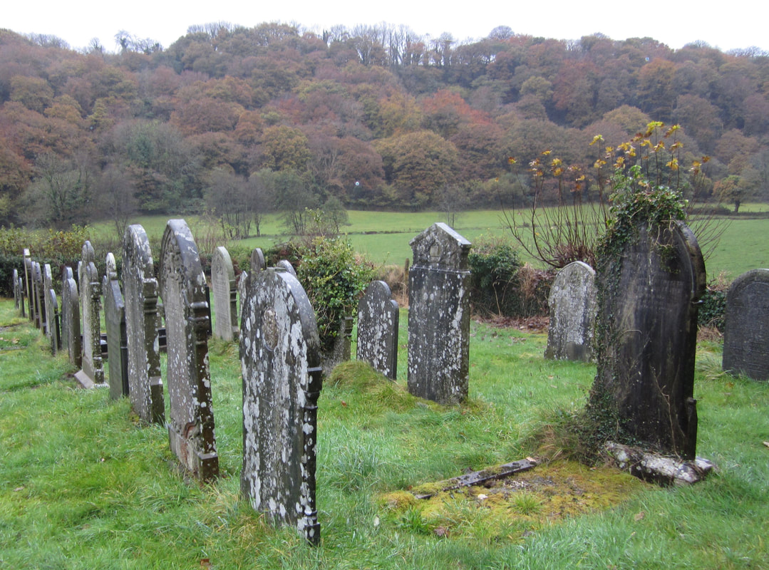
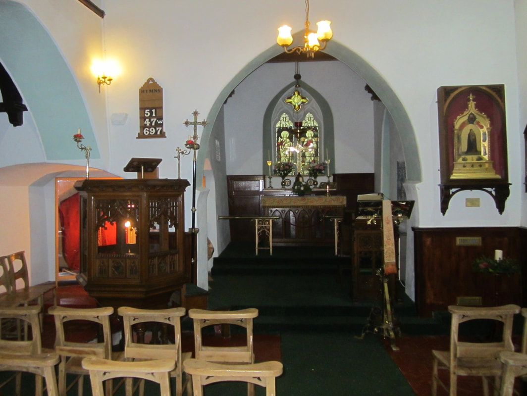
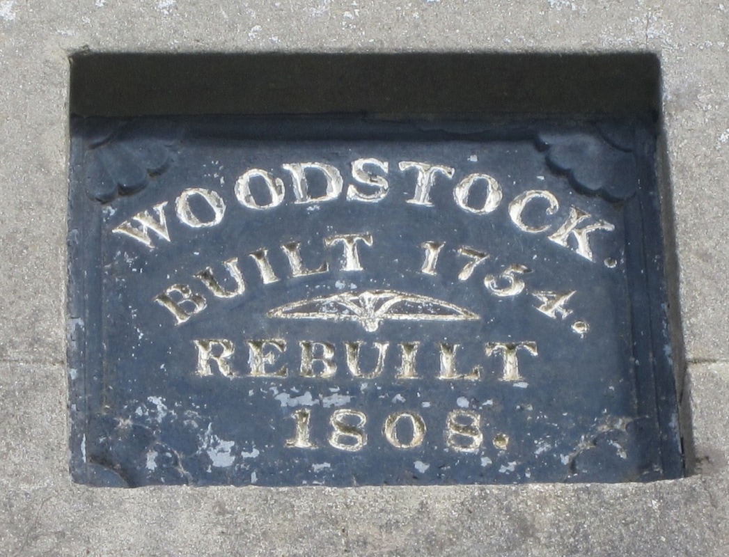
Towns and Villages M-W
Column One:
|
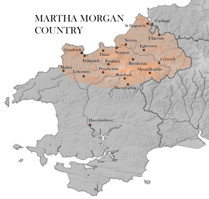
In the text below all entries are arranged alphabetically, reading straight down the column. When you get to the end of Column One, make your way to the top of column Two. Some towns and villages are described in "Story Locations" and in "Favourite Places."
Use the search box to find a particular place -- it will bring you to the right page, but you will then have to scroll down to find your place in the alphabetical sequence. There are still some places missing. We are working on it! Column Two:
|