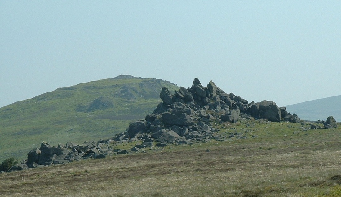
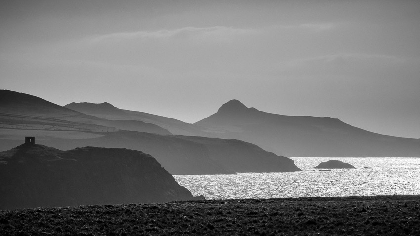
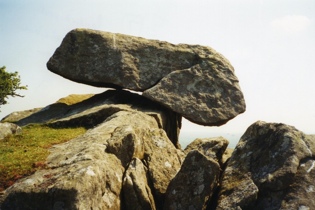
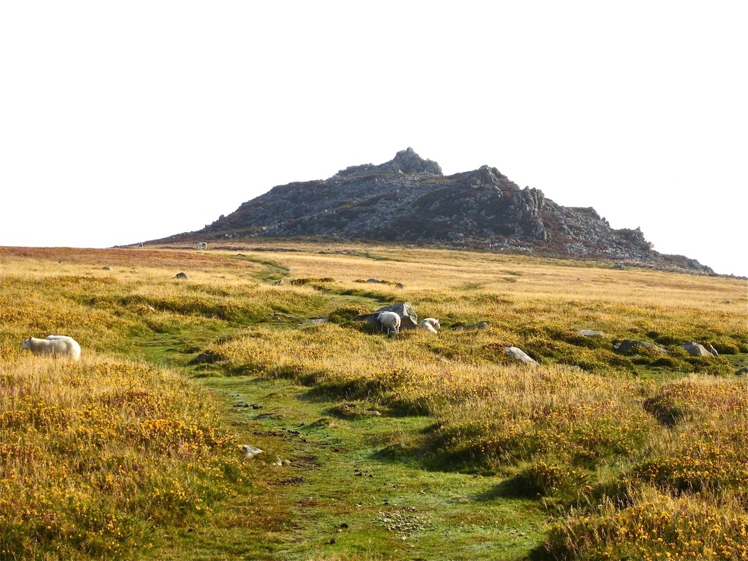
THE "SPECIAL CHARACTER" OF MARTHA MORGAN COUNTRY IS DERIVED FROM THE VERY COMPLICATED GEOLOGY AND LANDSCAPE HISTORY OF THE REGION. HERE THE ROCKS ARE VERY OLD -- FOR THE MOST PART AROUND 450 MILLION YEARS OLD -- AND THERE ARE FREQUENT EXPOSURES OF VOLCANIC ROCKS WHICH ARE A TESTAMENT TO A VIOLENT PAST. ONCE THERE WAS A HUGE MOUNTAIN RANGE HERE, BUT IT HAS FOR THE MOST PART BEEN WORN AWAY SO THAT ALL WE SEE TODAY ARE BITS AND PIECES OF IT -- IN THE ROUNDED AND ROLLING UPLANDS OF PRESELI AND CARNINGLI COMMON AND IN THE CRAGGY REMAINS OF ANCIENT VOLCANIC PEAKS ACROSS THE REGION. THESE ARE TORS, SIMILAR IN ORIGIN TO THE TORS OF DARTMOOR, EXCEPT THAT HERE THEY ARE NOT MADE OF GRANITE BUT OF DOLERITE AND RHYOLITE INSTEAD. THE ICE AGE HAS ALSO MADE A GREAT IMPACT UPON THE LANDSCAPE WITHIN THE LAST 2.5 MILLION YEARS, AND ON AT LEAST TWO OCCASIONS THE LANDSCAPE HAS BEEN DEEPLY BURIED BENEATH GLACIER ICE. THE UPLANDS AND THE CRAGS ARE VERY CLOSE TO THE MAGNIFICENT CLIFFED COAST, AND IT IS THIS JUXTAPOSITION OF MOUNTAIN AND COASTAL SCENERY WHICH MAKES THE REGION SO SPECIAL.
Mynydd Preseli
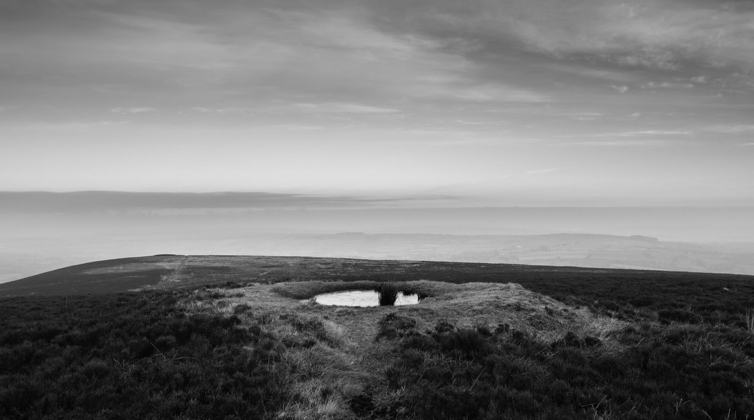
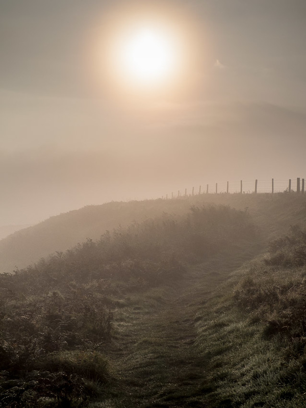
The Preseli uplands are not particularly spectacular, and there are no jagged peaks like those of Snowdonia, the Lake District or western Scotland. Indeed, the highest point in Preseli (the summit called Foelcwmcerwyn) is only 536m above sea-level, and one of a series of gentle swells on an undulating moorland. Nevertheless, the landscape has a wild and grotesque beauty which is valued and protected through the inclusion of this area within the Pembrokeshire Coast National Park.
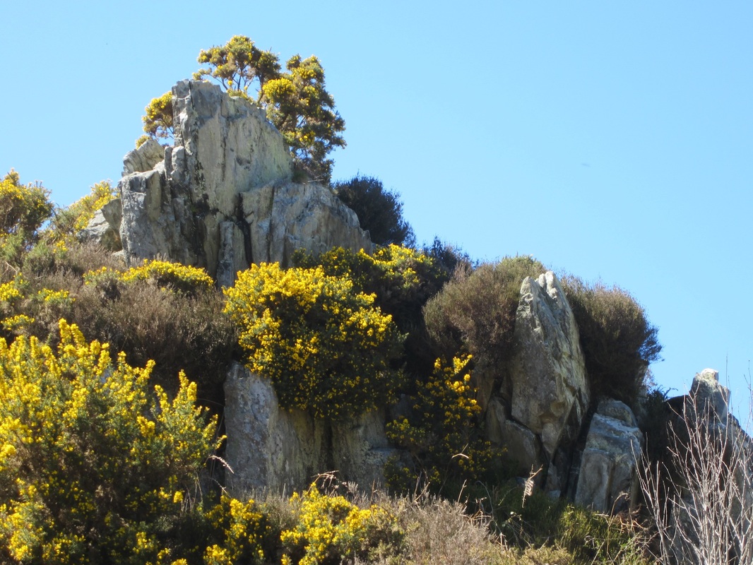
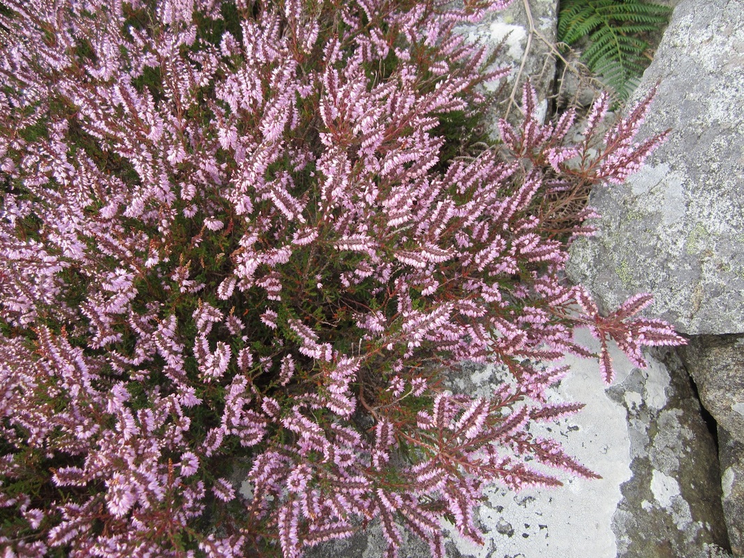
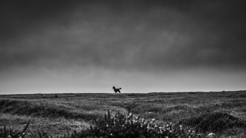
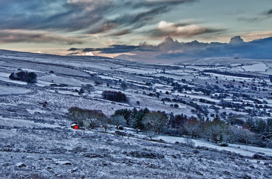
Hard volcanic rocks with a bluish colouring are found in their natural state across a broad swathe of North Pembrokeshire countryside, from Pen Caer near Fishguard to Crymych over 30 km to the east. In this area of rolling moorlands and rocky tors there are hundreds of crags and smaller outcrops of blue, green and grey volcanic rocks which are extremely hard. Encrusted with lichens, bathed in bright sunlight or wrapped in swirls of cloud, they are at least partly responsible for the county’s reputation in the old Welsh literature as “the land of mystery and enchantment”. Much of the upland landscape is unfenced open moorland with heathland where conditions are well drained and peaty boggy areas elsewhere. Extensive areas of coniferous woodland were planted in the early part of the last century, but these are gradually being cleared since they are alien to the natural environment; mixed deciduous woodland would probably be the "climax" vegetation today, but grazing by sheep and ponies keeps shrubby growth under control and maintains the open aspect of the landscape. Where heather, gorse and bracken spreads on the lower slopes, burning has traditionally been used by the commoners to maintain good grazing conditions. Nowadays there is no peat cutting on the mountains, but turbaries once provided essential fuel supplies for those living on the flanks of the uplands. The Coastline
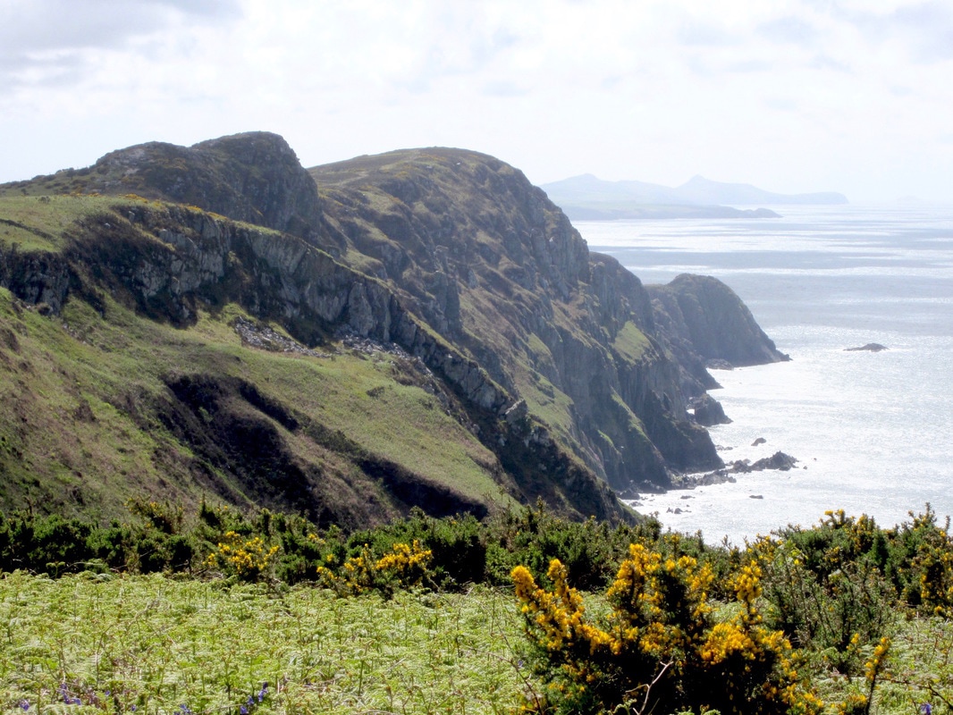
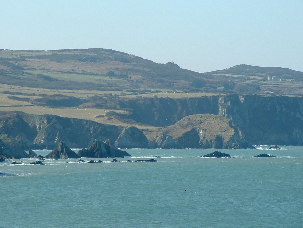
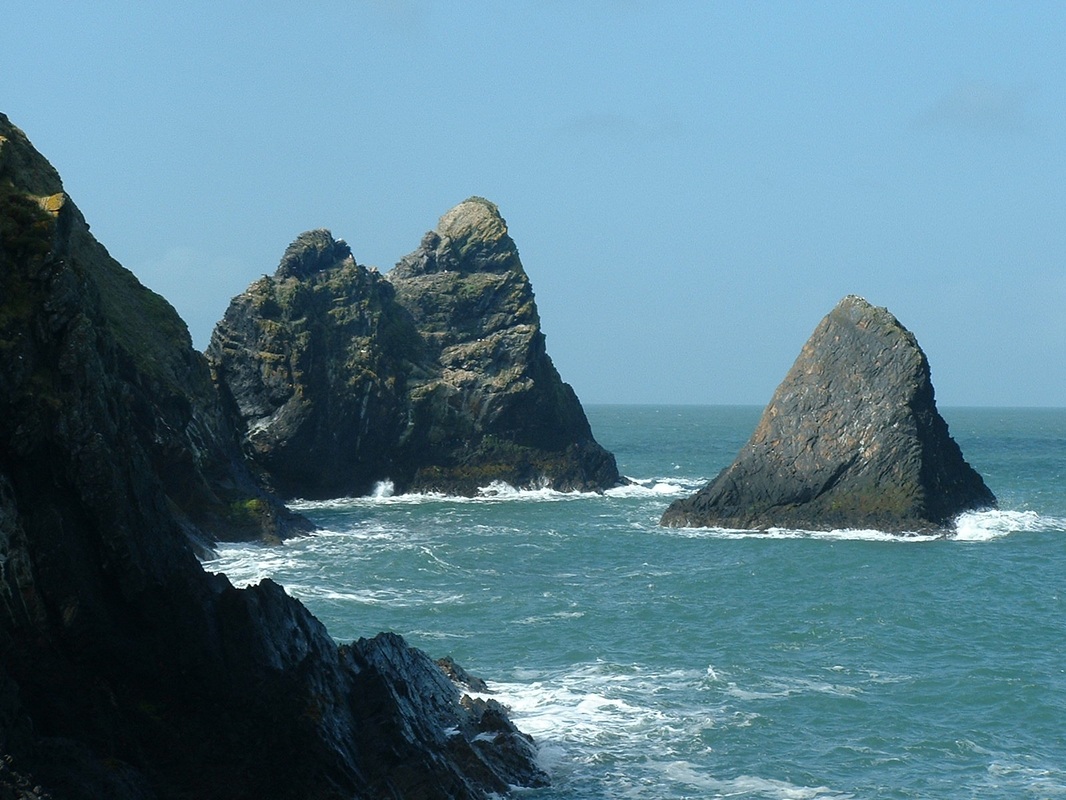
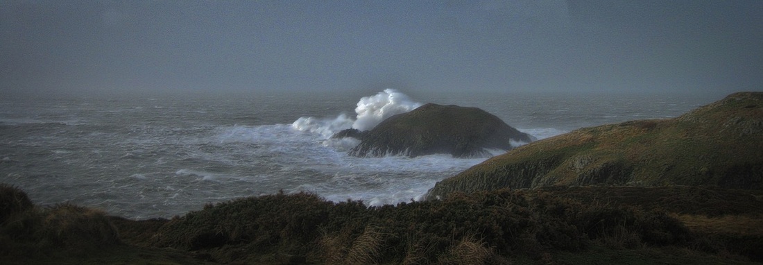
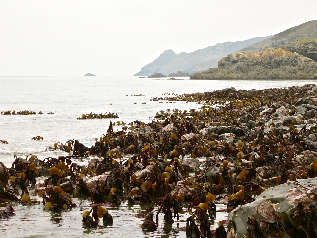
The coastline between Pen Caer and the Teifi estuary is not subject to such dramatic changes as the west-facing coast of Pembrokeshire, because it is sheltered to some degree from the work of the largest Atlantic swells -- but it is nonetheless very spectacular, including some of the highest cliffs in Wales. By and large the promontories like Pen Caer and Pen Dinas coincide with areas of harder volcanic rocks, whereas the embayments occur where the forces of erosion have been able to remove softer rocks. But although that broad principle applies, the rocks here are so old, and so contorted and smashed up by the immense forces operating within the earth's crust that folds, faults and other structures have caused the detailed features on the coastline to be highly varied and complicated. So we find stacks, vertical cliffs, caves, arches, collapsed caves, landslides and many other features right along the coastline -- and in the quieter estuaries of the Afon Teifi and the Afon Nyfer extensive tidal mudbanks and areas of sand dunes which provide ideal over-wintering habitats for many bird species.
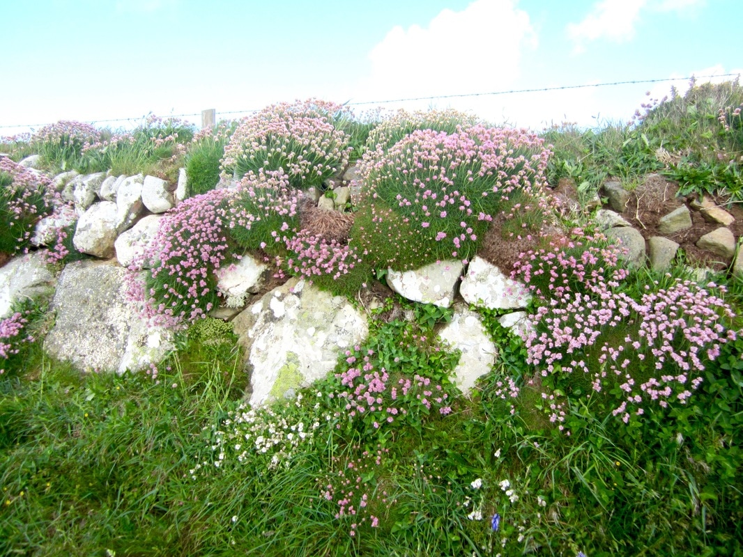
The most spectacular stretches of coast are probably those around Pwllderi and Ceibwr, but if you walk the National Trail along this Cardigan Bay Coast you will see why it is protected through its National Park designation, for there is an endless sequence of changes of colour, texture and landform. Walk the coast in May, if you can, for that is when the flowers are at their most exuberant and the birds are most in evidence. Ceibwr and the Witches CauldronMuch of the deformation of the rock layers exposed in the cliffs occurred during the "Caledonian” earth-movements, which created a vast mountain range some 450 million years ago. Most of this range has now been denuded to such an extent that all we see in north Pembrokeshire are the undulating hills of Mynydd Preseli, Carningli Common and Pencaer, and the structures in the "stumps" of the original mountains, revealed in the coastal cliffs. The tight folds in the rocks seen in the cliffs near Ceibwr are text-book examples.
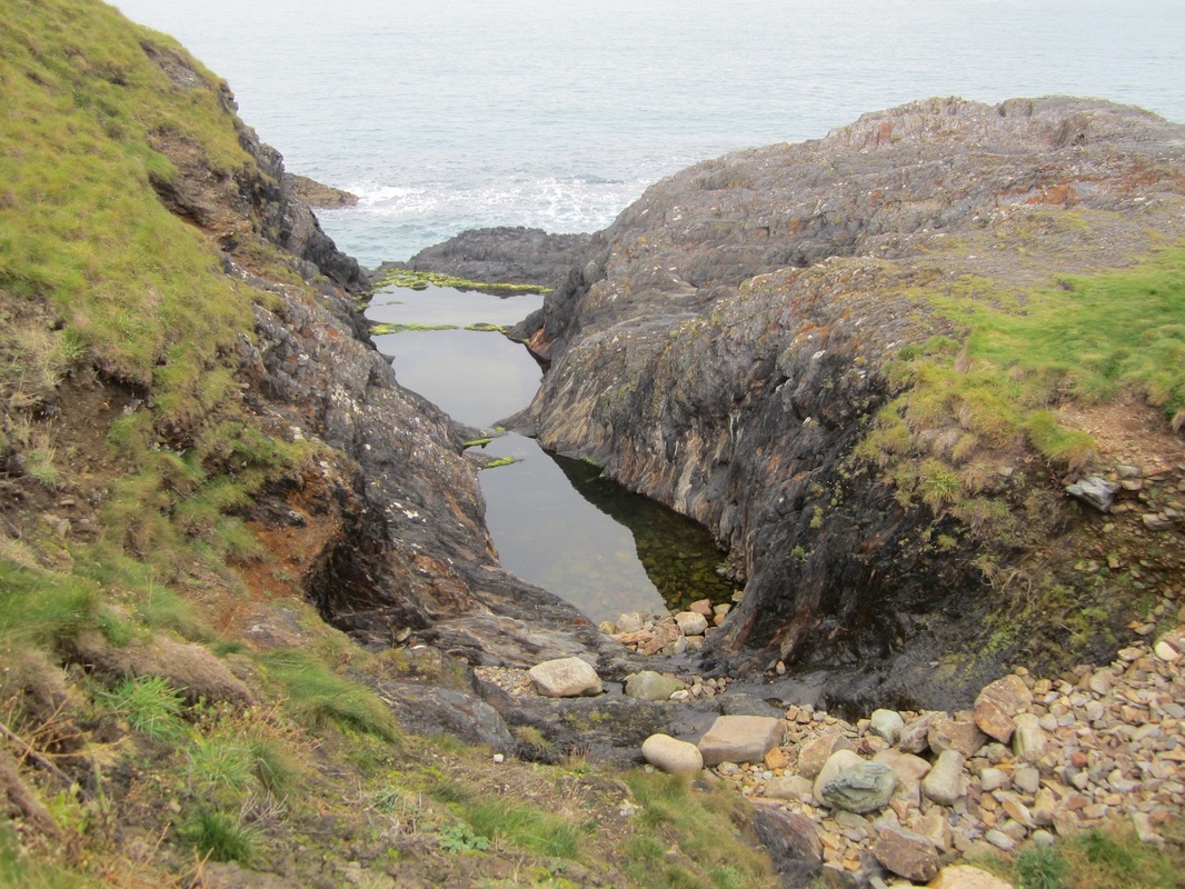
The coast in this area is highly spectacular, with vertical cliffs, stacks, landslides, caves and also the famous Witches cauldron -- a collapsed cave system connected to the outer coast via a series of natural tunnels and arches. Many of the rocks exposed in the vicinity are soft and friable black shales which are easily eroded by the sea -- so the rate of change on the coastline here is quite rapid, with rockfalls and landslides quite frequent occurrences. The Submerged Forest
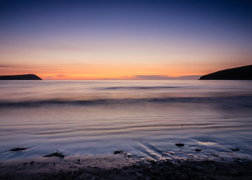
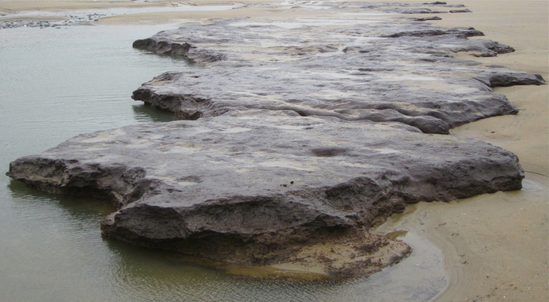
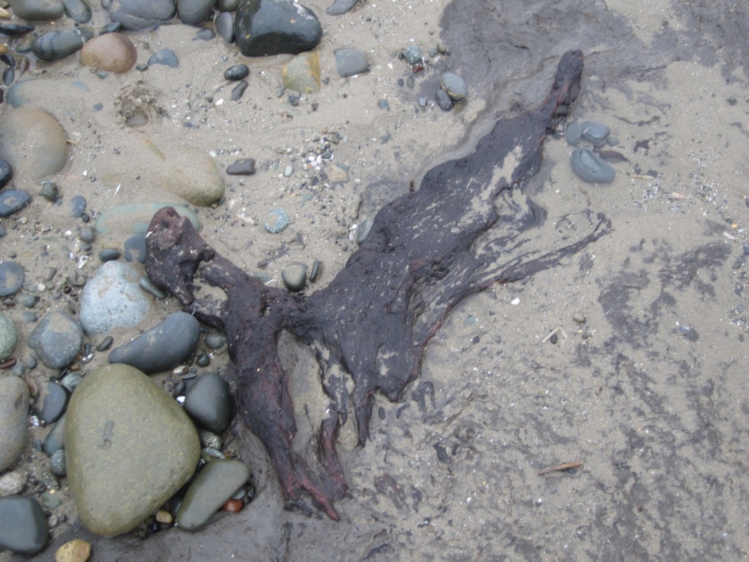
In almost all of the bays of North Pembrokeshire there is a "submerged forest" somewhere beneath the sandy beach. In the summer it is generally buried, but sometimes in the winter storm waves remove the sand -- to reveal the traces of a lost world of peat beds, fallen tree trunks and branches, broken roots, and even clusters of acorns and hazel nuts. The submerged forest is regularly exposed in Newport Bay and at Abermawr. These exposures date from a time when sea-level was much lower than it is today; at the end of the last glacial episode, the water that had been contained within the world's great ice sheets was gradually returned to the oceans, but as sea level rose many offshore areas supported extensive forests and peaty boggy areas. These were then submerged -- sometimes catastrophically -- as the coastline was reinstated at more or less its present position.
Many of the submerged forest areas have been dated to between 9,000 and 6,000 years ago. It may be that the ancient legend of Cantre'r Gwaelod (the Lowland Hundred), which tells of the inundation of Cardigan Bay, arises from a folk memory of this flooding event. The Trefgarn Tors
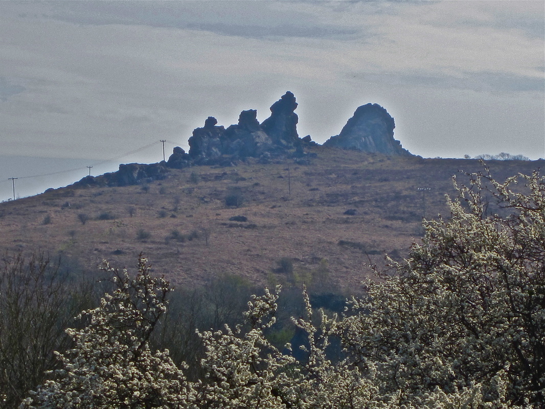
These rocky crags which dominate the skyline of mid-Pembrokeshire are tors, related in origin to the tors of Dartmoor. There are several big differences between them -- the main one being that these tors are made not of granite, but rhyolite of Precambrian age. There are actually two rocks -- one referred to as Poll Carn or Lion Rock, and the other referred to as Maiden Castle or the Family of Lions. The latter is much the more delicate and craggy of the two -- and it is a miracle that some large detached blocks remain in position when gravity suggests that they should have come crashing down long since.
It is argued that the ice of the Irish Sea Glacier, which inundated much of North Pembrokeshire around 20,000 years ago, did not actually reach the Trefgarn Tors. If it had done, the most precarious of the pinnacles would certainly have been destroyed. The rocks are easily accessible by a footpath from Nant y Coy Mill, down in the river gorge. They are used frequently by outdoor activity instructors to teach young people roping and climbing techniques. |
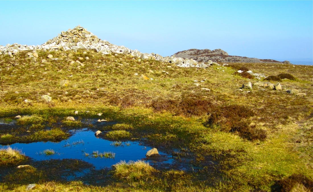
Carnedd Meibion Owen
For large parts of the Ice Age this region has been affected by extremely cold conditions, with the ground solidly frozen and with extensive snowpatches surviving in some cases doe millennia. At other times (during the "interglacial" periods) the climate was not dissimilar to that of today. But at times Preseli supported a small local ice cap, and on least two occasions the huge Irish Sea Glacier moved in from Cardigan Bay and St George's Channel and partly or entirely inundated the landscape. We can see traces of this ice action in scoured and smoothed rock surfaces, erratic boulders dotted across the landscape, and thick deposits of till and sands and gravels that were left behind when the ice melted. The most recent inundation by glacier ice ended only about 20,000 years ago.
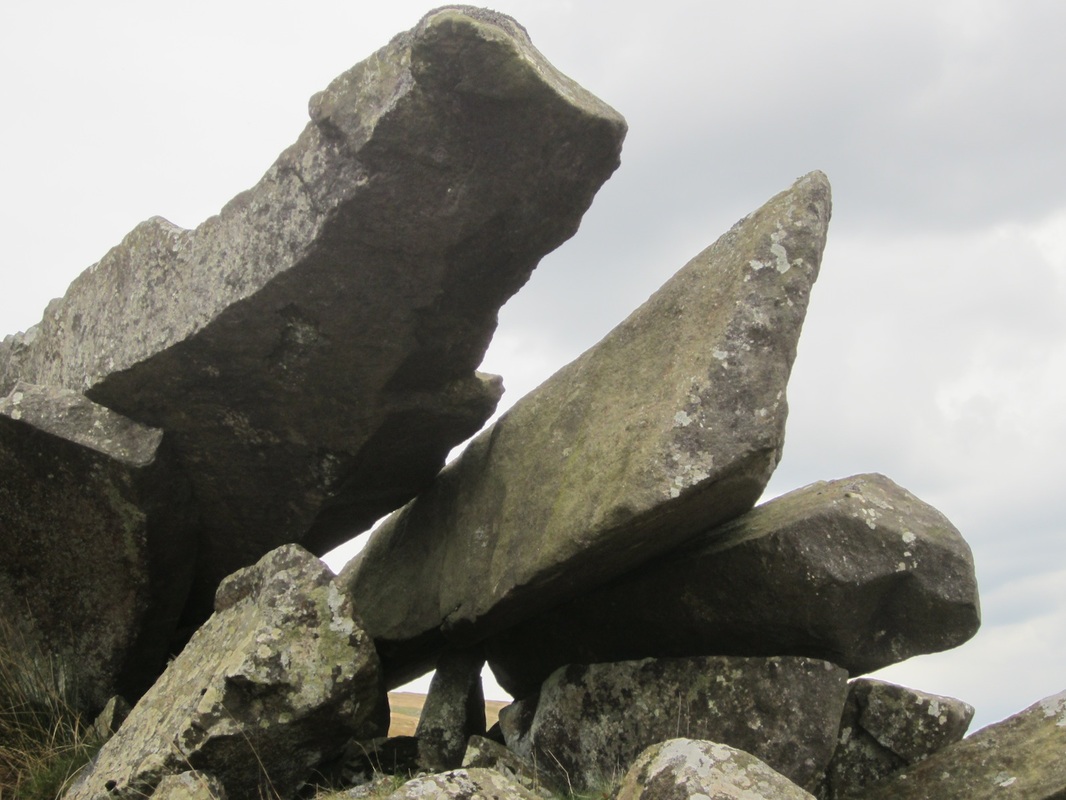
On the four dolerite tors of Carnedd Meibion Owen (reputed to be the petrified remains of the four last giants to have lived in this area) we can see abundant evidence of the work of frost in breaking up the rock surface, and there are also smoothed glaciated slabs and "perched blocks" left stranded in strange positions when the last glacier ice melted away. Cwm Gwaun and other strange valleys
During the Ice Age, the Irish Sea Glacier flowed across Pembrokeshire, moving broadly from NW to SE. During the earlier of the two glaciations for which we have traces in the landscape, the glacier probably extended as far as Wiltshire and as far south as the Scilly Isles. At the end of this glaciation, about 450,000 years ago, vast quantities of meltwater were produced; in the area around Fishguard, Trecwn and the Gwaun Valley this meltwater eroded a spectacular series of channels. These are called "subglacial meltwater channels", because the meltwater which eroded them was flowing under great pressure far beneath the downwasting ice surface. Under these conditions certain sections of the channels were cut by meltwater actually flowing uphill.
Carningli and Dinas Mountain
The rolling upland ridge which runs from Fishguard towards Newport is a detached portion of Mynydd Preseli, cut off by the deep gash of Cwm Gwaun. It has managed to resist erosion over the last 450 million years or so because many of the ricks here belong to the Fishguard Volcanic series; the dolerites, volcanic ashes and rhyolites are very hard indeed, and many of them were deposited in conjunction with the eruptions of the Carn Ingli volcano. The softer mudstones and shales on the flanks of the hilly ridge have been eroded away. Today there are many tors and other rock outcrops on the ridge, including Carn Edward, Carn Enoch and Garn Fawr, and there are abundant traces of glacial action -- erratic boulders, patches of till, glaciated rock surfaces, and even moraines.
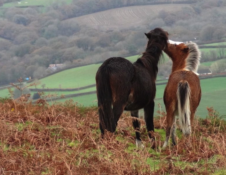
Soils are acid here, and because wet surface conditions prevail there are extensive areas of bog in the depressions. However, heath and dry grassland with heather, gorse, and bilberry occurs on the swells and interfluves, and there is a riot of glorious colour in the month of August every year. Much of the ridge crest is common land, grazed by sheep, ponies, and occasionally cattle; but as economic circumstances change, and the size of the grazing herd is reduced, bracken is becoming invasive on the lower slopes, and there are even a few patches where shrubby woodland is making a comeback. There is a tradition of controlled burning on parts of the common each year, with a view to suppressing gorse and enhancing the growth of grasses. PencaerPencaer is of course best known because it is the place where the the strange events relating to the "Last Invasion" of 1797 were played out -- but it is also a very distinctive small region with its own landscape character. It has a spine of craggy hills which runs more or less parallel with the north coast, and dotted along this ridge are tors and other outcrops of igneous rocks. Garn Fawr is the most prominent (and the most accessible) of these, and around its summit there are traces of a substantial Iron Age defended settlement. The summit can be reached by an easy walk from the car park on the minor road that leads northwards to Strumble Head: and from the summit you have one of the most magnificent views in Pembrokeshire, south-westwards along the great rampart of cliffs between Pwllderi beach and the tip of Penbwchdy. There is a great contrast between the rough cliffs on the west-facing coast of Pencaer, and those of the north coast. The latter are relatively low, and there are many places where it is possible to scramble ashore and climb up onto the plateau above. That is why the French invasion force of 1797 selected Carregwastad Point for the landing of troops and men. Strumble Head (with its lighthouse), Llanwnda church and Tregwynt Woollen Mill are other points of interest.
The Farmed Landscape
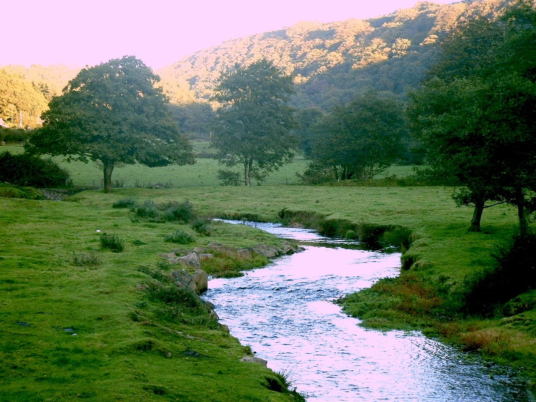
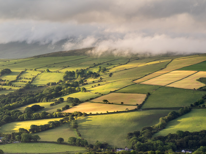
The landscape of this region is much less benign that that of other parts of Pembrokeshire -- largely because upland scenery is foumnd in close proximity to the coast. So there are quite limited flat and well-drained areas suitable for extensive mechanised farming. As a consequence of this, coupled with steep slopes,high rainfall totals and thin and acid soils, the farming landscape has not changed a great deal over 300 years or more. Small family farms dominate, dotted across a landscape which is a mosaic of small fields and paddocks, copses and thick woodlands in the deeper valleys, and more and more extensive boggy areas and moorland as the altitude increases. The growing of arable crops has always been difficult here, although in Martha's day many farms grew barley and oats, partly for animal consumption. The hay harvest was always important. So stock rearing has always been the basis of the farming economy, with sheep on the fringes of the uplands (where common grazing was and is still available during the simmer months) and cattle lower down. In the old days there were many horses and other farm animals as well. In recent years the size of the milking herd has been greatly reduced because of the realities of the modern farming economy; and the rearing of beef cattle now dominates proceedings.
Although there were many small estates in this landscape (including Martha's Plas Ingli estate) these were never grand enough to make a great impact on the landscape with designed gardens and landscaped parklands. Even the more pretentious estates such as those of Cilwendeg, Rhosygilwen and Ffynone had parklands of quite limited extent. For the most part, the estates made their income from tenanted farms which in many cases were similar in extent and management practices to those of the estate "home farms" themselves. Nevern Estuary
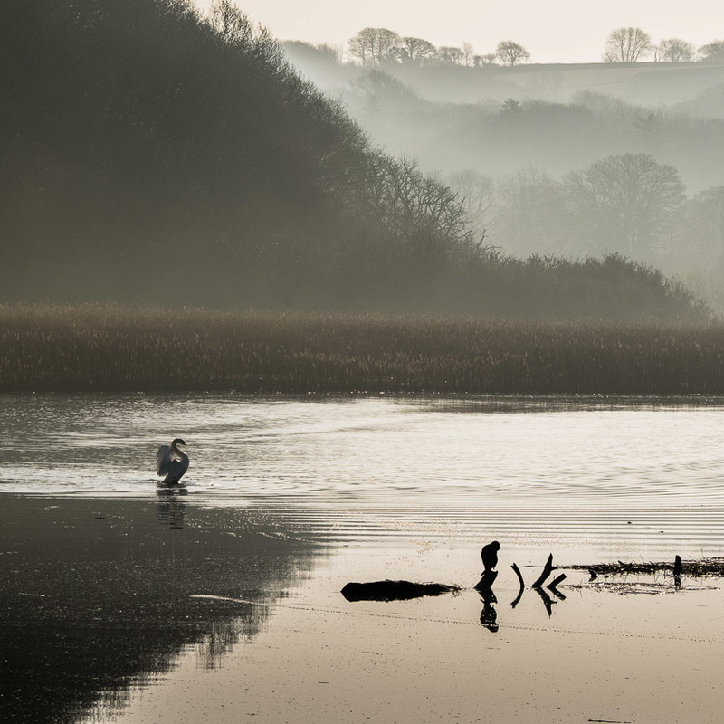
The tidal estuary of the Afon Nyfer stretches from Traeth Mawr and Parrog upstream almost as far as Llwyngwair Manor. It is a place of constant change as the water floods in and then back out again, exposing and covering extensive mud-flats and shoreline expanses of salt-resistant grasses and reedbeds. These are fine habitats for a wide variety of ducks, geese, waders and gulls -- and the "iron bridge (which nowadays does not have much iron in it) is very popular indeed with birdwatchers and holidaymakers -- at all times of the year. Near the bridge we can see the stepping stones that were used by pilgrims on the ancient route from Aberystwyth to St David's. After that, a bridge was built near here, but it was demolished at the time of the Plague, to prevent the spread of the pestilence from Newport into Nevern (or was it the other way round?). There is one remaining lime-kiln on the shore, at Shiphill, and at several locations on the estuary shore there used to be shipyards, in the heyday of the little sailing ships. There are footpaths on both sides of the estuary, and that on the southern shore has been well maintained as a wheelchair route.
The estuary features many times in the stories of Martha Morgan. Martha enjoyed walking along the shore, often in the company of her friend Patty. This is where the ducking stool was located, and this is where the corpse of the villainous Alban Watkins was found in the novel "House of Angels". |
